
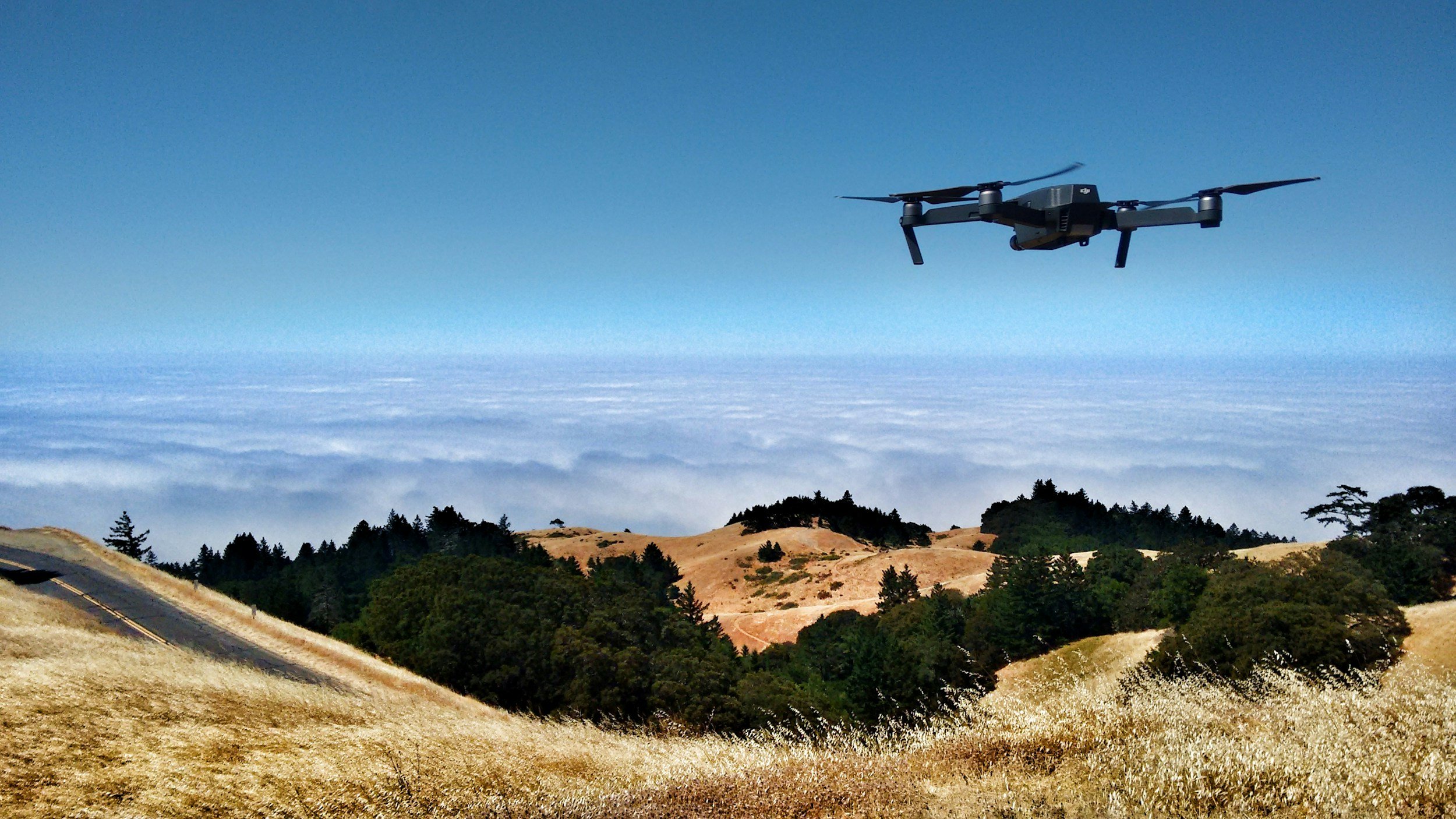
UNDERSTAND HOW AI AND DRONE TECHNOLOGY CAN SUPPORT YOU
-
Consultation
The consultation process for drone and AI surveying typically begins with a collaborative discussion between our team, landowners, planners, and other stakeholders to define survey objectives, site boundaries, and data requirements. Permissions and regulatory considerations, such as flight safety and privacy, are addressed early on. Once approved, drone flights are scheduled and carried out by certified operators, with AI tools then used to process and analyse the data.
-
Surveying and Monitoring
Initial Assessments: Drones can quickly and accurately survey large areas to assess the pre-development biodiversity value. This includes mapping habitats, identifying species, and documenting ecological features.
Ongoing Monitoring: Drones facilitate continuous monitoring of on-site and off-site habitats to ensure compliance with biodiversity gain plans over the 30-year maintenance period. They can capture high-resolution imagery and data to detect changes in vegetation, wildlife presence, and habitat quality.
-
Data Collection and Documentation
Drone and AI-powered surveying enables rapid, high-resolution data collection across large or complex sites. Drones capture georeferenced imagery, thermal, and multispectral data, which is processed using AI to classify habitats, assess vegetation health, and detect environmental changes. This data is accurately time-stamped, mapped, and stored, creating a clear digital record for baseline assessments, ongoing monitoring, and compliance reporting. The result is a well-documented, transparent, and repeatable process that supports ecological decision-making and regulatory requirements like Biodiversity Net Gain (BNG).
-
Data Analysis
Data analysis in drone and AI surveying involves processing high-resolution imagery and sensor data to extract meaningful environmental information. AI algorithms classify land cover types, assess vegetation health, and detect changes over time with greater speed and consistency than manual methods. This enables ecologists and planners to generate accurate habitat maps, calculate biodiversity metrics, and monitor site conditions with precision. The integration of geospatial data further supports spatial analysis and decision-making, enhancing the reliability of ecological assessments and compliance reporting, particularly in contexts such as Biodiversity Net Gain (BNG) and habitat restoration.
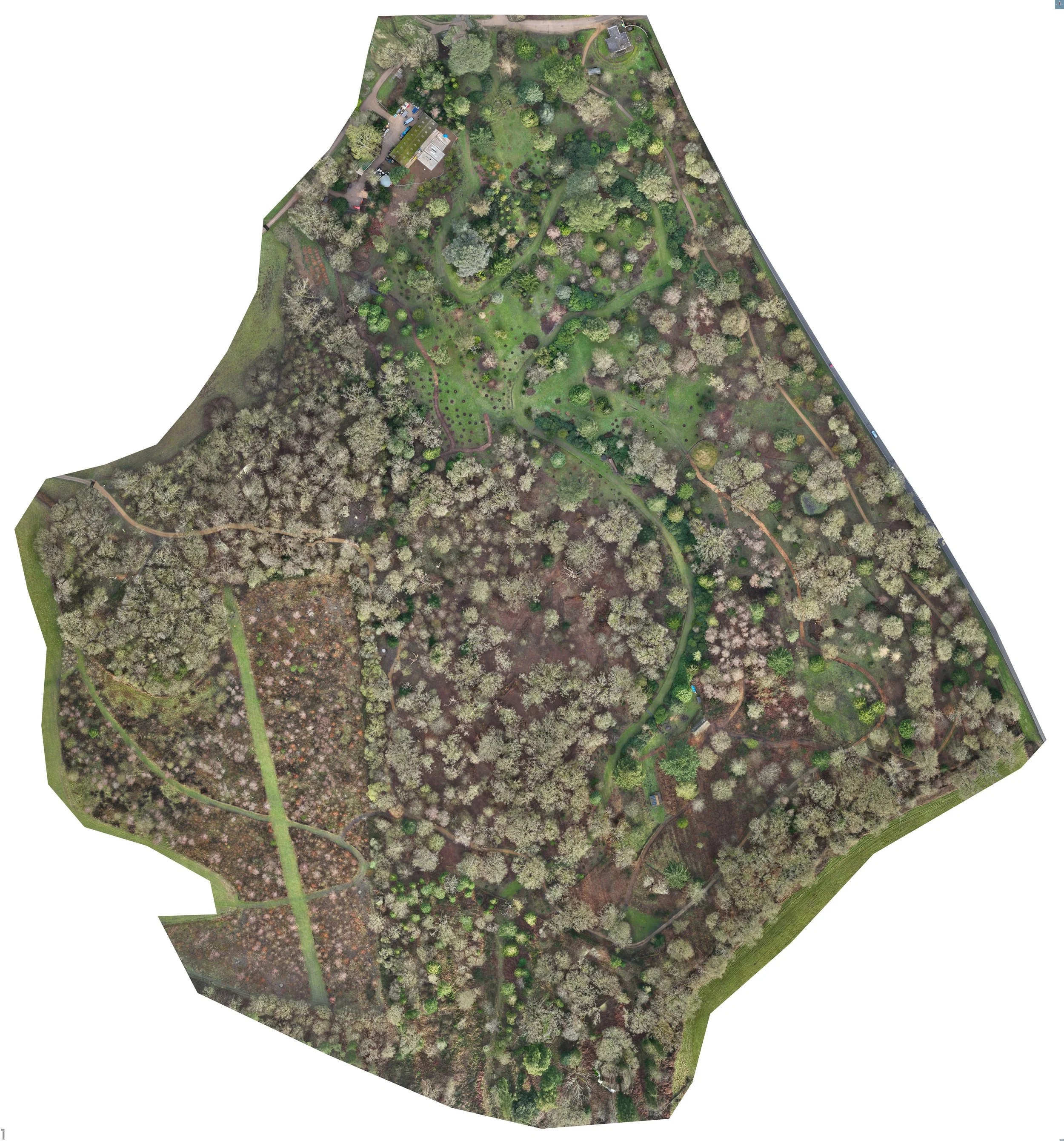
SURVEY EXAMPLES
THE UNIVERSITY OF OXFORD BOTANIC GARDEN AND Arboretum
Results from NVDI (Normalised Difference Vegetation Index) and RTK (Real-Time Kinematics) systems showing tree health and machine learning for levels of ash dieback (Hymenoscyphus fraxineus) before they become prevalent.
Using RTK we are able to pinpoint with cm accuracy diseased trees for removal and reduce further spread.

CASTLEWOOD VINEYARD
DEVON
Through NVDI and other multi spectral indices we are able to provide precise, real-time data on crop health, soil conditions, and pest infestations. Using high-resolution imagery and AI-powered analysis, the Castlewood Vineyard manager can quickly identify problem areas, optimise irrigation, and monitor vine growth more efficiently than traditional methods. Our reporting enables more informed decision-making, reduces labor costs, and supports sustainable farming practices by targeting interventions exactly where they're needed.

